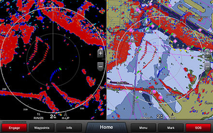
With the new GPSMAP 1222xsv Touch you will be able to enjoy total compatibility with the Garmin Marine Network to share sonar images, maps, user data, radar images, camera recordings and images from the innovative Panoptix with the various connected units.
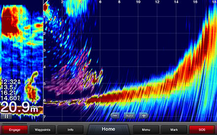
The integrated single channel 1 kW CHIRP sonar module features ClearVü and SideVü technology to revolutionize your fishing style.
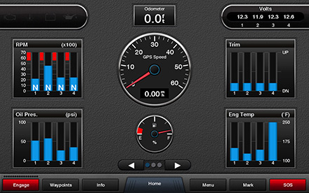
NMEA 2000 and NMEA 0183 connectivity allows you to interface with multiple systems including onboard autopilot, digital switching, VHF, AIS and many more ™ .
CHIRP ClearVü and SideVü technology
Unlike traditional fishfinders that send only one frequency at a time, CHIRP technology simultaneously sends a signal on multiple frequencies, from high to low, then interpreting the echo of each individual frequency. This continuous spectrum provides more information to CHIRP sonar, which uses it to produce sharper, higher resolution images.
CHIRP ClearVü technology enables higher resolution for better target discrimination and higher level of detail.
CHIRP SideVü technology is the innovative function for displaying the compliance of the bottom and submerged structures on the sides of the boat.
A truly integrated system
With the new GPSMAP 1222xsv Touch you will be able to enjoy total compatibility with the Garmin Marine Network to share sonar images, maps, user data, radar images, camera recordings and images from the innovative Panoptix with the various connected units.
NMEA 2000 and NMEA 0183 connectivity allows you to interface with multiple systems including onboard autopilot, digital switching, VHF, AIS and many more.
Your nautical cartography
BlueChart g3 coastal charts offer unprecedented coverage and pin-sharp levels of detail when under way. They deliver industry-leading coverage and clarity with integrated content from Garmin and Navionics ® . Plus, the charts use desired depth and maneuvering room to easily calculate suggested courses with Auto Guidance 1 technology. Bathymetry down to 1 foot on fishing charts provides superior detail and more accurate images of bottom structure. Intuitive features, such as depth range and shallow water shading, allow you to view the depth of targets and avoid grounding.
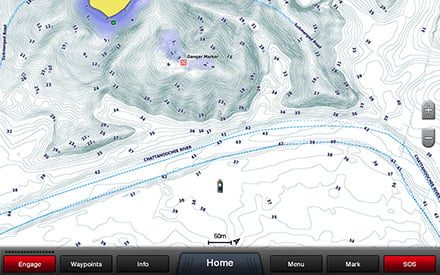
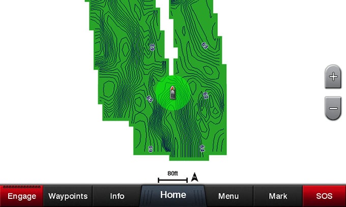
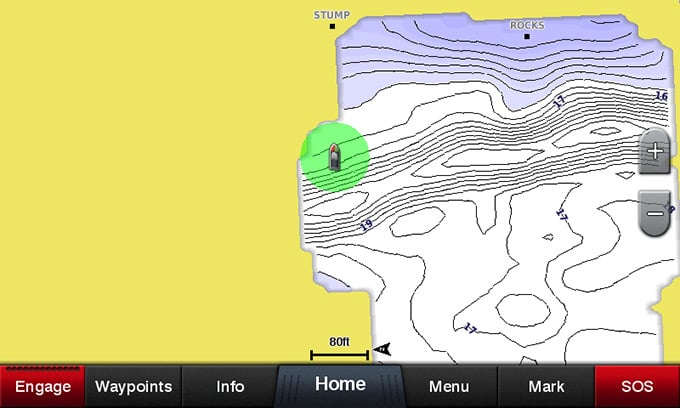
Built-in Quickdraw Contours to create your own HD contours
Quickdraw Contours allows you to draw your own HD bathymetrics in total autonomy with a detail every 30 cm.
Quickdraw Contours is really simple to use. Once activated, the user can check the boat's route on the display of his Garmin chartplotter while navigating and see the detail of the bathymetrics that are drawn directly on the map. The procedure is immediate: the new data is immediately available for use and it is possible to share it with friends and fishing buddies, thanks to the Quickdraw Community on Garmin Connect™.
ActiveCaptain
Make the most of the potential of the innovative ActiveCaptain™ application which allows you to connect Garmin Marine chartplotters to the mobile network and access a new world of content: consult, purchase, update and synchronize nautical cartography; quickly update the on-board devices to the latest software version available; view and control the chartplotter from anywhere on board the vessel on a smartphone or tablet; receive Smart Notifications, calls and SMS directly on the chartplotter display; connect with the ActiveCaptain community to learn updated information on marinas and new points of interest, thanks to updated feedback from thousands of other users; plan your navigation in advance from the comfort of your home; quickly and easily download and share bathymetrics from the Quickdraw™ Community ™ ; automatically synchronize routes and waypoints marked on the chartplotter to review all data anywhere on your mobile device.
SailAssist functions
To help you make the most of the wind and start ahead of the competition, the new chartplotter includes specific sailing functions such as Laylines, Pre-race Guidance, Race Timer, Starting line and provides new data fields dedicated to the world of sailing such as Wind rose, Heading and COG vectors, direction, wind speed and tide data.
Panoptix technology
It supports the latest generation Panoptix transducers, which allow you to scan and display everything that happens in front of or below the boat in real time, guaranteeing an exact and extremely realistic perception.
1 Auto Guidance is to be used for planning purposes and is not a substitute for safe navigation operations
Wi-Fi® is a registered trademark of the Wi-Fi Alliance.


